While creating a professionally-looking music video most often requires advanced editing software, someone on reddit has discovered that you can actually make a good clip using nothing more than the images available on Google Maps Street View.
As many people know already, Street View provides us with street-level imagery from almost every location across the world, and users are allowed to navigate on public streets with the same paths that the Google car followed to capture the photos.
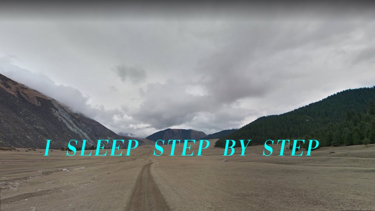
The video, which looks more like a time lapse based on dashcam footage, wasn’t easy to do, as the creator explains on reddit.
“The section in the middle is made on Google Earth studio, as you can probably tell. The vast majority of the street views are screengrabs, yes. I actually didn't use all of what I collected, plus I messed up some bits and had to re-do them. So I pressed the prt scr button maybe 15000 times in total. I did, halfway through the process, suddenly think "I bet somebody wrote a tool to automate this", and that led me to find something called Hyperlapse. But (although really cool) it didn't quite work in the ways that I needed, so I went back to manual,” they say.
As for how they removed the navigation arrows that show up on Google Maps Street View, that wasn’t an easy mission either.
The first idea was to access a Google API that would have allowed the editing of street markings for Google Maps. But that didn’t work.
“So what I had to do instead was a) plan routes without any long street names on them) and b) tilt the view upwards slightly so that any street names, and the navigation arrows, were outside of the region that I was going to crop to,” the redditor says.
In the end, the video created all manually looks pretty cool, although there’s no doubt some professional editing would have come in handy too. I, for one, would have also picked a different font for the lyrics, but everything’s pretty impressive given all the effort anyway.
Bogdan keeps an eye on how technology is taking over the car world. His long-term goals are buying an 18-wheeler because he needs more space for his kid’s toys, and convincing Google and Apple that Android Auto and CarPlay deserve at least as much attention as their phones. Full profile
Would you like AUTOEVOLUTION to send you notifications?